This is a general explainer about how people get around Newcastle and the surrounding Hunter region, not financial, legal or business advice. It is intended to give residents, newcomers and visitors a durable picture of the city's roads, public transport and connections. Specific timetables, fares, road conditions and project details change over time, so for anything time-sensitive you should check the relevant operator or authority directly. Where this article describes services or infrastructure, the underlying detail comes from bodies such as Transport for NSW, the City of Newcastle and Newcastle Airport.
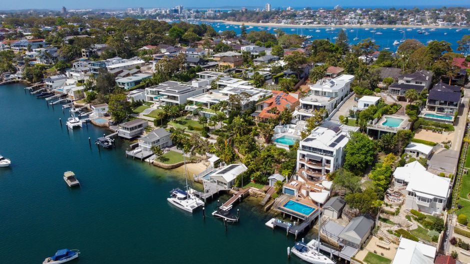
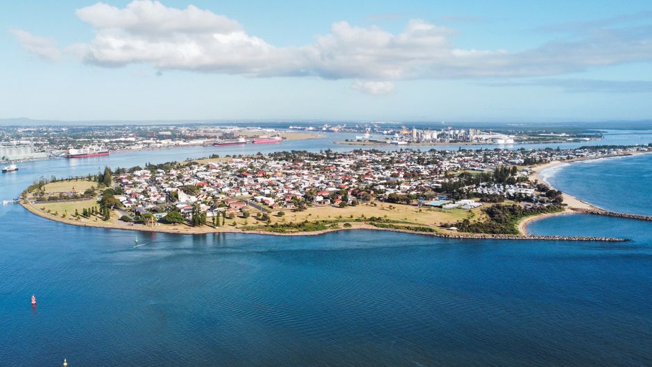
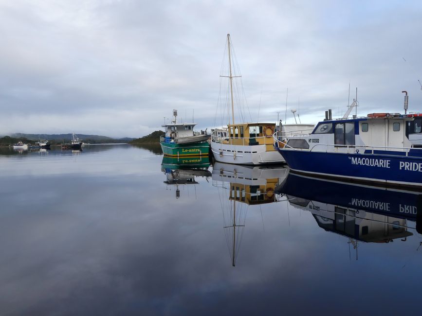
What makes getting around Newcastle distinctive is its geography. The city sits where the Hunter River meets the Pacific Ocean, and it grew up around a working harbour that remains one of the busiest coal export ports in the world. That harbour, the coastline and the river shape almost every journey. The city centre runs along a relatively narrow strip between the water and the inner suburbs, and the wider population spreads west and north into Lake Macquarie, Maitland, Cessnock and Port Stephens. The result is a dispersed, multi-centred region rather than a single dense core, which is why most local trips are made by car and why public transport here is built around connecting separate town centres rather than funnelling everyone into one downtown.
Newcastle's most visible recent change to public transport is its light rail line, which Transport for NSW opened through the city centre to link Newcastle Interchange at Wickham with the foreshore and the east end. The line was introduced after the heavy rail tracks that once ran into the old Newcastle station were cut back to Wickham, freeing the former rail corridor for redevelopment and pedestrian access to the harbour. Alongside the light rail, Newcastle is served by an extensive bus network operated under the Transport for NSW banner, covering the inner city, the beaches, the universities and the suburbs, with major interchanges that connect bus, rail and light rail services on a single Opal fare system.
Heavy rail still does the regional heavy lifting. The Central Coast and Newcastle Line carries commuters and travellers down through the Central Coast to Sydney, while services also run west through the Hunter Valley towards Maitland, Singleton, Scone and beyond on the Hunter Line. Newcastle Interchange at Wickham is the modern gateway where intercity and regional trains meet local buses and the light rail, replacing the old harbourside terminus. For many people in Maitland, Cessnock and the Lake Macquarie towns, the train is a practical way to reach the city or to connect onward to Sydney without driving the full distance.
On the roads, the spine of the region is the Pacific Highway and the M1 Pacific Motorway, which together form the main north-south corridor linking Newcastle to Sydney in the south and to the NSW north coast. The Hunter Expressway connects the M1 with the Hunter Valley around Branxton, giving the wine country and the upper Hunter a faster link to the coast and the port. Within the city, routes such as the Pacific Highway through the inner suburbs, Industrial Drive near the port, and the bridges and roads crossing the Hunter River carry heavy commuter and freight traffic. Transport for NSW manages the major highways and motorways, while the City of Newcastle is responsible for most local streets, parking and active transport links such as shared paths and cycleways.
Commuting patterns reflect that dispersed geography. A large share of workers drive, and the busiest flows are not only into the Newcastle city centre but also towards employment hubs around the port, the hospitals and health precincts, the universities, and business parks across the wider region. Many people commute between separate centres, for example from Lake Macquarie or Maitland into Newcastle, or from Newcastle out to the coalfields and industrial areas, rather than along a single radial route. Cycling and walking are growing, helped by the foreshore paths and the flat, coastal character of the inner city, and the City of Newcastle has progressively expanded shared paths and cycleways as part of its local transport planning.
For longer trips, Newcastle Airport at Williamtown, north of the city, is the region's main air gateway and one of the larger regional airports in New South Wales. According to Newcastle Airport, it offers domestic flights to major capitals and other destinations, and the airport authority has pursued a significant terminal expansion intended to support new routes, including the capacity for international services. The airport shares its runway with the adjacent RAAF Base Williamtown. Beyond air travel, intercity coaches and the regional rail network connect Newcastle to Sydney, the Central Coast, the north coast and the Hunter Valley, giving the region multiple ways to reach the rest of the state.
Looking ahead, transport in the Hunter is shaped by a mix of ongoing projects and long-term planning. These typically include upgrades to the Pacific Highway and motorway corridors, improvements around Newcastle Interchange and the city centre, continued investment in the bus and rail network, and the City of Newcastle's local plans for active transport and revitalising the former rail corridor through town. Because such projects are delivered over many years and their timing and scope can change, the most reliable course is to follow announcements from Transport for NSW, the City of Newcastle and Newcastle Airport for the current state of any particular road, service or development.
Sources: Transport for NSW, City of Newcastle, Newcastle Airport, Transport for NSW - Trip Planner and Opal, NSW Government.
Related Articles
This article was compiled by AI and screened before publishing. See our editorial standards.
Sources Include (But not Limited to)
Source material used in preparing this article is listed below so readers can check the original record.